Japan braces for Typhoon Khanun’s winds and heavy rainfall
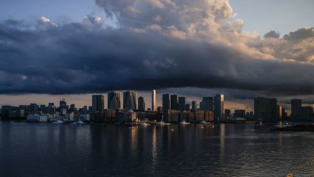
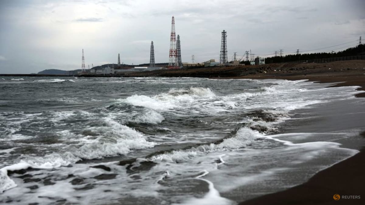
TOKYO: A swath of Japanese regions, including central areas, are bracing for Typhoon Khanun to approach near southwestern Japan on Tuesday (Aug 8), as the country’s meteorological agency warns of damage from strong winds and heavy rainfall.
The storm was hovering about 160km east-northeast of the city of Amami in southwestern Japan and moving slowly north as of 9am, the Japan Meteorological Agency (JMA) said.
After skirting western parts of Japan’s Nagasaki prefecture, Khanun is projected to make its way parallel to the coast north toward South Korea, according to the JMA.
Khanun has gradually lost its strength but still packs winds of 108kmh, with gusts of up to 144kmh.
Rainfall of 300mm to 400mm was expected between Tuesday and Wednesday in the Shikoku and southern Kyushu regions, with 200mm to 300 mm of rain in Amami, as well as Kinki in Western Japan and the central region of Tokai, the weather agency said.
“Due to the slow movement of the typhoon and its prolonged impact, total rainfall may greatly exceed the normal monthly rainfall for August in the Pacific Ocean side of Kyushu and western Japan, and in the Tokai region,” the JMA said.
Mazda Motor will suspend production at its two domestic plants on Wednesday and Thursday, the carmaker said on Monday.
Shinkansen, or high-speed train, service may also be suspended between the Hakata and Osaka stations from Wednesday night until Thursday morning, the West Japan Railway said.
The city of Nagasaki relocated a venue to commemorate the 78th anniversary of the US atomic bombing on Wednesday to an indoor convention centre from a park.
Source: CNA


